|
TOP > What is ALOS? > Three "Eyes" of ALOS = "PRISM", "AVNIR-2","PALSAR"
|
||||||||||||||||||||
|
AVNIR-2 Advance Visible and Near Infrared Radiometer type 2
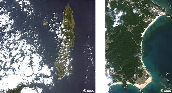
Above image over Tanegashima, Kagoshima Prefecture was observed by AVNIR-2 on 2006/02/17 10:50am. The image appears as the same color as it is seen by people's eyes, with spatial resolution of 10m. For example, the image distinguishes the beach to the shoal along the coast, inland plants and constructions. The image also shows Takezaki-Observatory in Minami-Tanegashima and Huge Rocket Launch Site there very clearly. It also provides information by integrating four bands from a visible to near infrared radiometer to know the condition of vegetation and forests as well as land use. More details of the image here
AVNIR-2 Major Characteristics
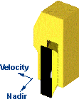
Note: AVNIR-2 cannot observe the areas beyond 88.4 degree north latitude and 88.5 degree south latitude. |
||||||||||||||||||||
 AVNIR-2 is a successor to AVNIR that was on board the Advanced Earth Observing Satellite (ADEOS), a visible and near infrared radiometer for observing land and coastal zones.